Search Results
136 results found for:
North Carolina Wesleyan College
View all North Carolina Maps material.
Currently viewing items 1 - 40
| Next |
1597
![Virginiae partis australis, et Floridae partis orientalis, interjacentiumq[ue] regionum nova descriptio](https://digital.lib.ecu.edu/encore\ncgre000\00000011\00010394\00010394.jpg)
![Virginiae partis australis, et Floridae partis orientalis, interjacentiumq[ue] regionum, nova descriptio](https://digital.lib.ecu.edu/encore\ncgre000\00000011\00010393\00010393.jpg)


1775
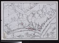
![Sketch of Beaufort Harbor, North Carolina from a hydrographic reconnoissance by the party of J.N. Maffitt [and] A.D. Bache, Superintendent.](https://digital.lib.ecu.edu/encore\ncgre000\00000011\00010452\00010452.jpg)
Currently viewing items 1 - 40
| Next |